About
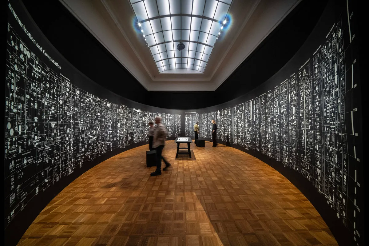
Calculating Empires is an exhibition at Rijksmuseum Twenthe with a 24-metre map that surrounds visitors. The page lists Thursday 29 October 2026, 10:00–17:00, and says it runs through 31 January 2027.
What to expect
The installation shows how power and technology have been intertwined for centuries, with a 24-metre map shown as an ellipse that surrounds the visitor.
- Timeline from 1500 to now
- More than 1,000 texts and handmade illustrations
- Five centuries of technology linked to power
- Made by Kate Crawford and Vladan Joler
Dates
FAQ
When can I visit?
The page lists Thursday 29 October 2026, 10:00–17:00.
It also says the exhibition runs through 31 January 2027.
The listed time is 10:00 to 17:00.
What can I see?
A 24-metre-long map shown as an ellipse that surrounds the visitor.
A timeline from 1500 to now, starting with capitalism, European colonialism and the printing press.
It runs to today's artificial intelligence.
More than 1,000 small texts and handmade illustrations.
Five centuries of technological development, linked to automation, communication infrastructures, education, colonialism, militarization, exclusion and inclusion.
Who made it?
Kate Crawford and Vladan Joler, artists and researchers.
How do I visit?
Access is included with a museum entry ticket.
A Museumkaart is valid.
Buy a Museumkaart or ticket via the museum page: https://www.museum.nl/nl/rijksmuseum-twenthe/tentoonstelling/calculating-empires
Who organises it?
Organizer: Rijksmuseum Twenthe
Getting there
Rijksmuseum Twenthe, Lasondersingel 129, 7514 BP Enschede, Overijssel, NL
Open in Maps (opens in a new window)