About
What to expect
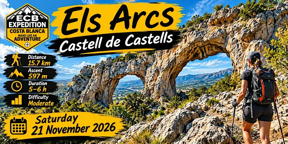
The circular route goes through mountain paths and pine woodland to the Els Arcs limestone formations, with views across the valleys.
- About 15.7 km distance
- About 597 m elevation gain
- About 5–6 hours, depending on pace
- Moderate difficulty
- Participants need their own insurance
- With the ECB community
FAQ
How long and hard is the route?
Distance: about 15.7 km
Elevation gain: about 597 m
Duration: about 5–6 hours, depending on the group’s pace
Difficulty: moderate
Route map: https://www.wikiloc.com/hiking-trails/els-arcs-desde-castell-de-castells-243064929
How do I book?
The listing is marked free. Register on Eventbrite: https://www.eventbrite.co.uk/e/ecb-les-arcs-desde-castell-des-castells-tickets-2005033733872
What should I arrange before joining?
All participants must have their own insurance.
Read the disclaimer via the More Info link on the listing.
A voluntary €5 donation helps keep events running.
Is there a chat or car share?
Event chat and car share are on WhatsApp; details are in the confirmation email.
Organizer: Expedition Costa Blanca
Follow: Facebook | Instagram
Website: THE-ECB
Getting there
Av. Dénia, 2, 2 Avenida Dénia, 03793 Castell de Castells, VC, ES
Open in Maps (opens in a new window)